Acadia National Park
A Peaceful Paradise
In the American State of Maine, located near the State of New York;
is the location of the Acadia National Park. The biggest island is that
of Mount Desert Island but there are also a lot of smaller islands in
the park. This just sits off the Atlantic coast; however Acadia wasn’t
always the name of the park. It was firstly known as the Lafayette
National Park back in 1919. It was the oldest park to the east of the
Mississippi river; and the park was eventually renamed to the Acadia a
decade later in 1929.
However, years ago, Acadia was inhabited by humans. It was John
Rockefeller Jr who designed, directed and even financed the work of the
carriage trail through the park. He was the man to put up the money to
help create the trails so that anyone could enjoy a tour through the
park. Rockefeller created the 17 granite bridges, as well as the trails
and the two gate lodges – they are all in use today and have been highly
maintained also.
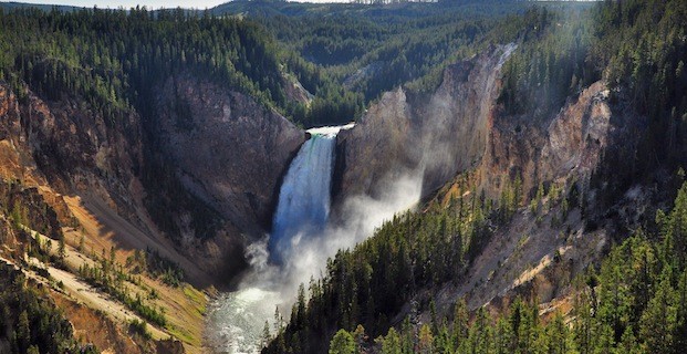
The Fire Of 1947
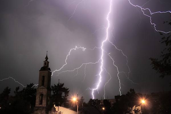
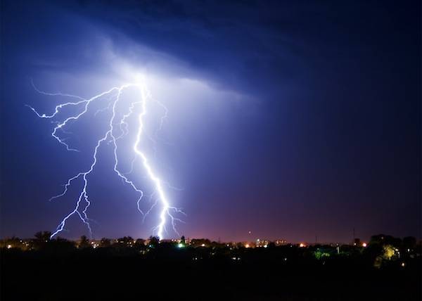
In 1947, on the 17th of October, almost 10,000 acres across the park
was destroyed by a huge fire that erupted. The fire started at the
Crooked Road which is only a few miles away from Hulls Cove. This was a
huge forest fire that was started because of the dry weather the area
had and it continued all the way through until November, the 14th of the
month to be exact. During this time however, the Navy, Army, Coast
Guard and local residents were all on hand to help control the blaze;
though the National Park Service also helped to control the blaze.
After the fire, there was a huge restoration program set up. Mostly
the Rockefeller family helped the restoration program; but most of the
regrowth program was natural. Some say that the fire helped to add
beauty to the park. However, the fire did help to bring diversity to the
population of trees because more were grown since the fire.
Throughout the years however, there have been many different groups
of people who wish to restore some of the parts of the park which need
care and attention. The Friends of Acadia program was launched in 1986
and this helped to restore the road system throughout the park. Of
course many visitors come here every year so good roads and safety are
vital.

Bass Harbor Lighthouse, Acadia National Park.
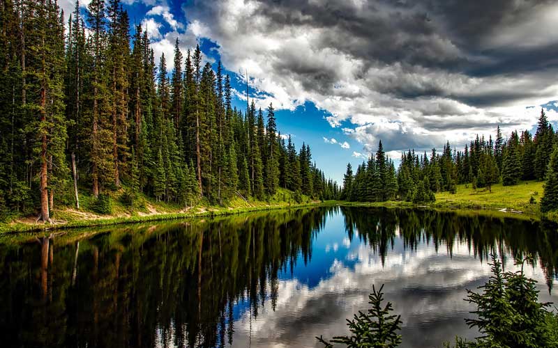
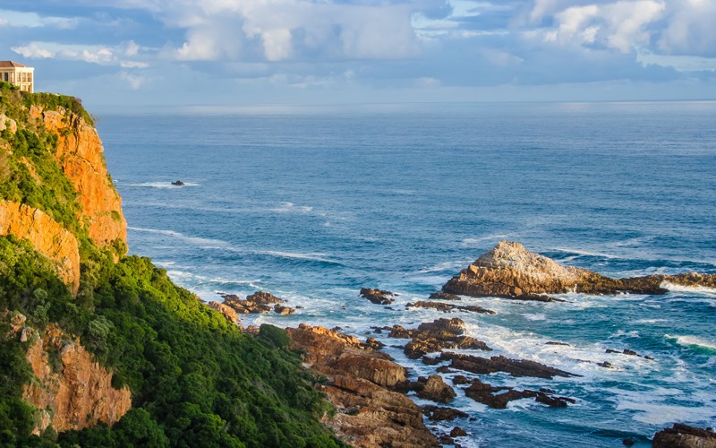
The Terrain of Acadia National Park
The terrains in the national park include things such as oceanic
shorelines, lakes, wood lands and mountain ranges. Mount Desert Island
isn’t the only island in the park as there is also the Baker Island.
There is the Isle au Haut and the Schoodic Peninsula which is located on
the mainland of the park. There is almost 47000 acres across the park
and the Mount Desert Island is where a large part of the land is found –
almost 30,300 acres.
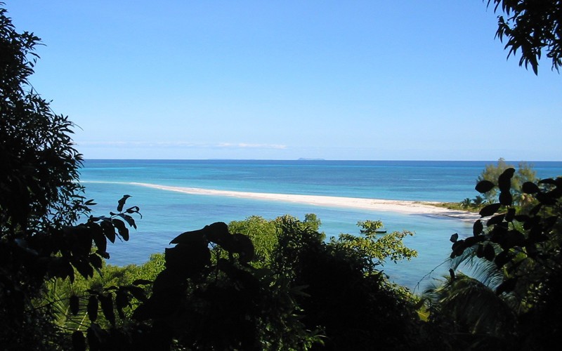
Though, the Cadillac Mountain range is certainly going to be one of
the more popular spots of the park. The mountain was named after the
explorer Cadillac; and the mountain can be found on the east part of
Mount Desert Island. Though a lot of the roads were built; and the
mountains throughout Acadia National Park give the chance for those who
love to ride a bike or hike, to be able to enjoy the scenery also. There
are some spectacular views of the many island lakes, the pine forests
and of course the ocean. There are almost two million visitors that come
to the park yearly.
Acadia National Park does have many different species of wild life including;
-The bobcat
-Black bears
-Red squirrels
-Grey squirrels
-The white tailed deer
-Chipmunks
-The beavers
-Moose
-Foxes
-The coyote
-The porcupine
-Muskrats
There are however a lot of different types of specify out there also and numerous marine life also.
The explorations and excavations of the Mount Desert Island have
shown remains of some native mammals. Things such as the bones of;
-The Elk
-The Grey Seal
-The Indian Dog
-The Wolf
-Deer
-The Beaver
-Sea Mink Which Are Extinct
-Muskrat
-Lynx
-Raccoon
However, beavers were introduced back into the island in 1920. There
were two pairs of beavers released back onto the island and have since
repopulated the island. Though, in 1947, there was a large fire which
destroyed almost half of all of the trees on the island. This did make
way for trees such as birch, aspen, maple, alder and a lot of other
deciduous trees in the area. This really helped the beaver population to
build and become stronger.

Acadia National Park Landscape
There were once the grey wolf and the puma or mountain lion as it is
also known as, found in the park. However, it is thought that these
animals have been forced out of the park because of the fact that
smaller animals or prey in the park has decreased. It is also thought
that human activity near the park may have caused the decrease with the
mountain lion and grey wolf.
There are many different parts of the Acadia National Park to visit including;
-The Eagle Lake
-Schooner Head
-The Bear Brook Picnic Area
-The Schoodic Peninsula
-Visitors Can Sail Along The Coastline
-View The Amazing Cadillac Mountain
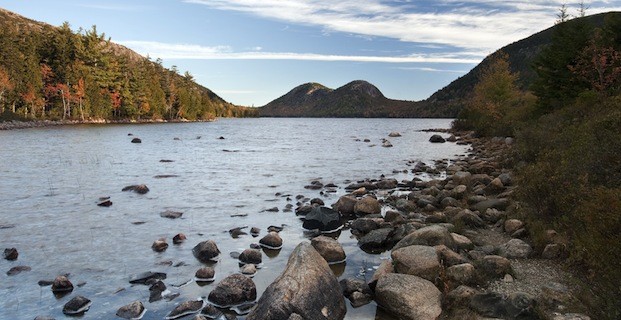
-Visit Jordan Pond
-Visit The Beautiful Thunder Hole
-Enjoy The Sand Beach
-Climbing To The Summit Of Mount Penobscot
There are so many different attractions to visit while in the park
and no matter what sort of day it is, there is going to be something for
everyone. This is why the Acadia National Park is a popular choice for
many and why more and more visitors flock to the park every year. It is
truly a lovely and beautiful area to visit.